- informationgeo478@gmail.com
- +91 638 535 1101
- Office Hours:9.30 AM - 6.00 PM


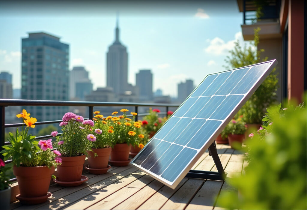


VISUAL MAPPING
HIGH‐RESOLUTION RGB IMAGING FOR COMPREHENSIVE COVERAGE
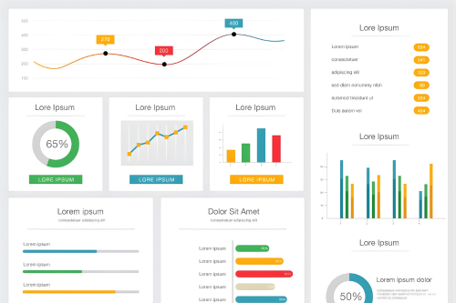
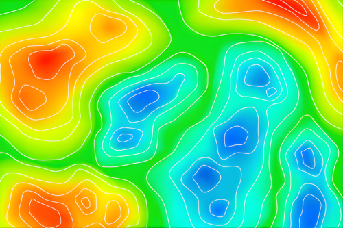
ANALYTICS DASHBOARD
GEOREFERENCED ANOMALY MAPS AND PERFORMANCE METRICS
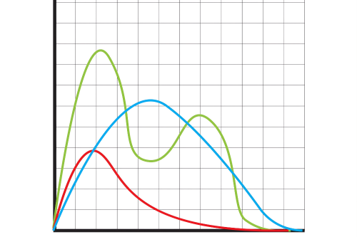
IV CURVE TESTING
ELECTRICAL BEHAVIOR ANALYSIS UNDER REAL‐WORLD CONDITION
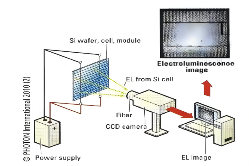
EL TESTING
ELECTROLUMINESCENCE FOR MICRO CRACK DETECTION

MAINTENANCE PLANNING
ACTIONABLE INSIGHTS PRIORITIZED BY SEVERITY
THERMOGRAPHY
THERMAL IMAGING TO DETECT HOT SPOTS AND PANEL DEFECT